Your charts were the best and I always found them very useful on all my flights.
Features
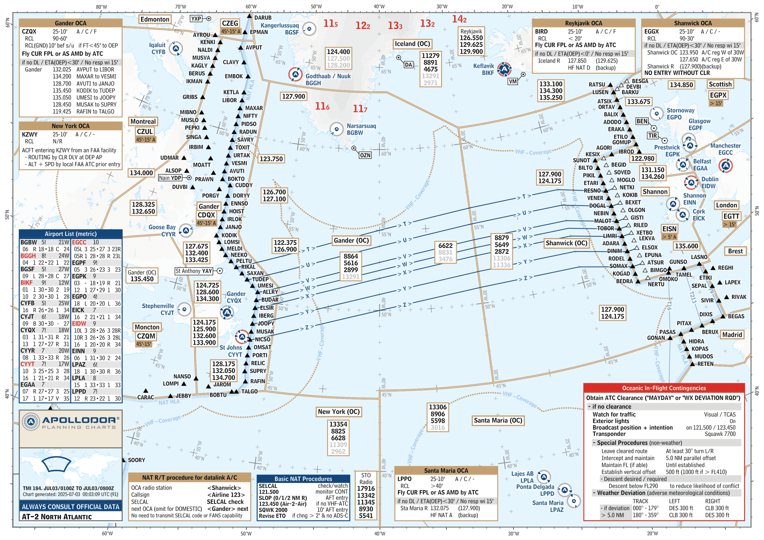
Our charts are focussed on the essentials.
We removed less important items to improve the overview and thereby the situational awareness.
Daily NOTAM updates and official Lido Sky Data are shown on the charts. E.G. availability of RWYs, approaches, etc.

Precision in every pixel.
See how our charts deliver unmatched clarity, essential data, and pilot-friendly design for confident navigation.
Benefits
We use EASA-certified Lido Sky Data with daily NOTAM updates. Runway closures or unavailable approaches are instantly reflected in symbols and data lists.

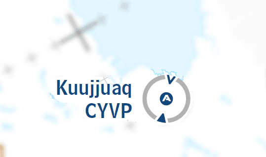
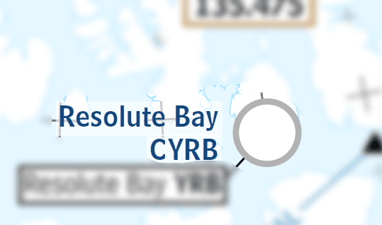
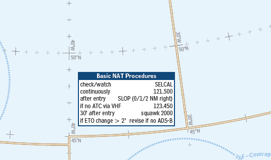
We display accurate accurate pilot insights in our charts to simplify our flight.
... and more.
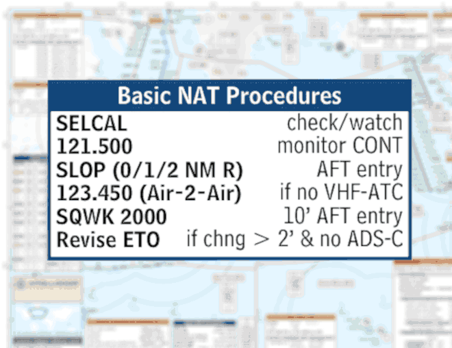
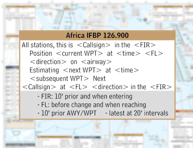
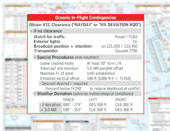
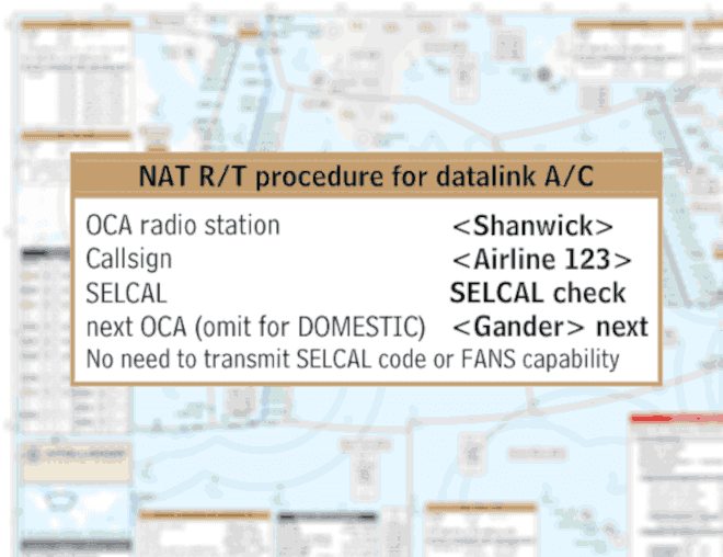
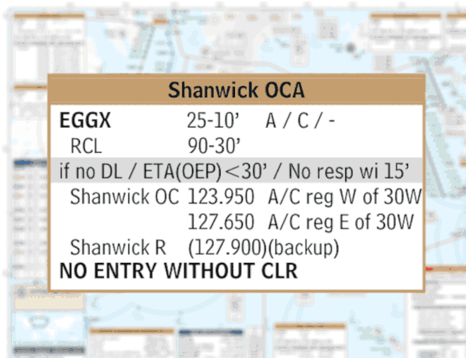
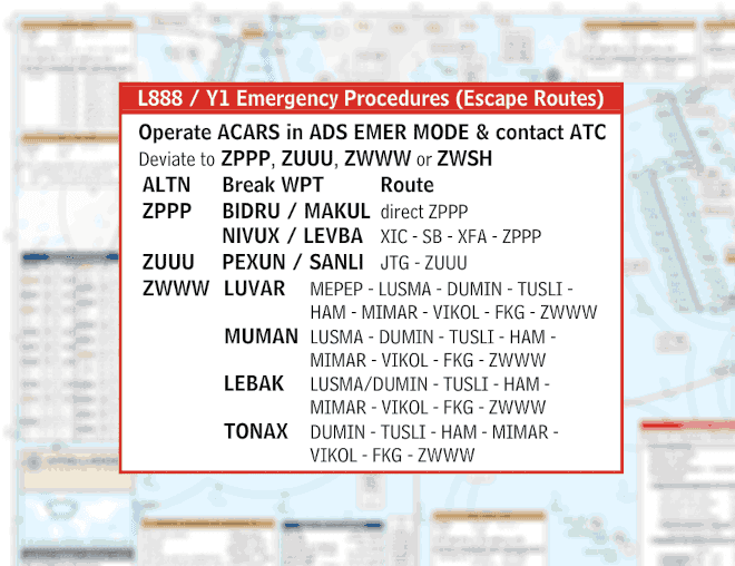
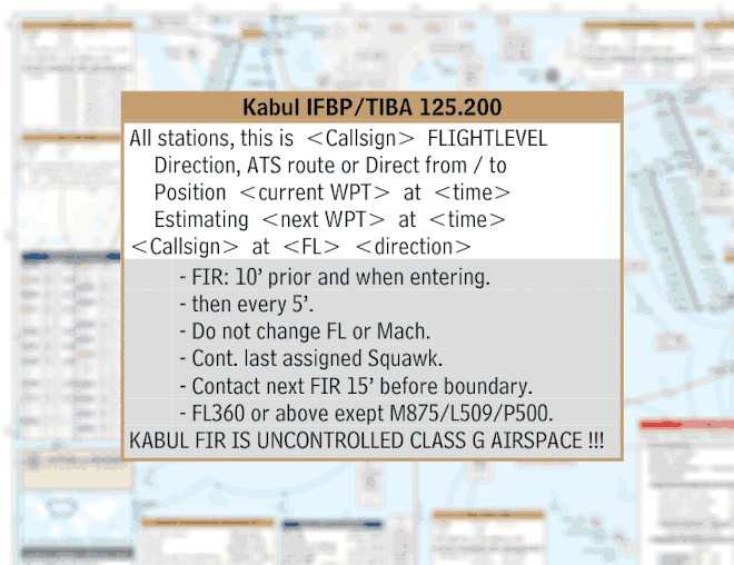
Backed by EASA-certified Lido Sky Data and updated daily via NOTAMs for real-time accuracy.
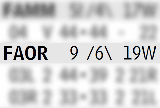
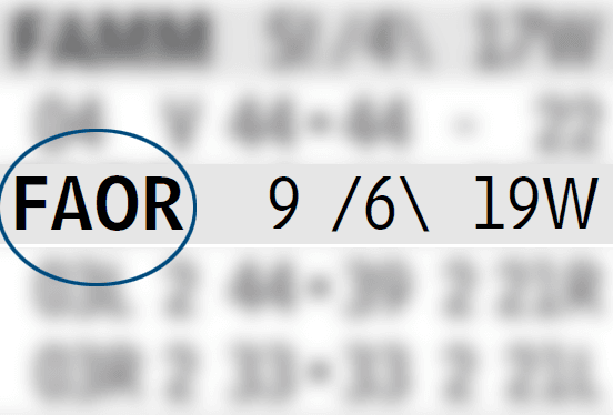
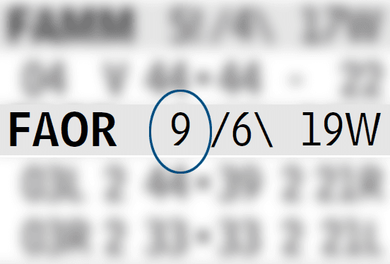
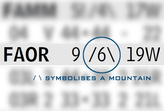
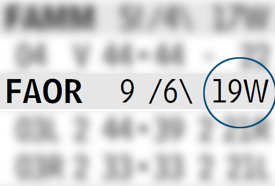
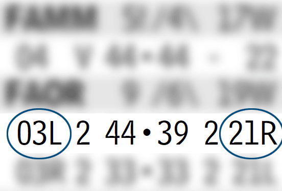
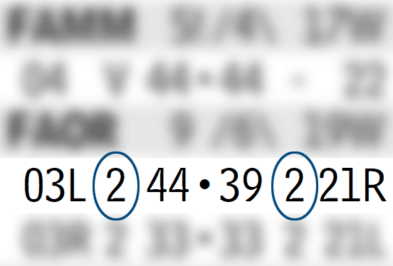
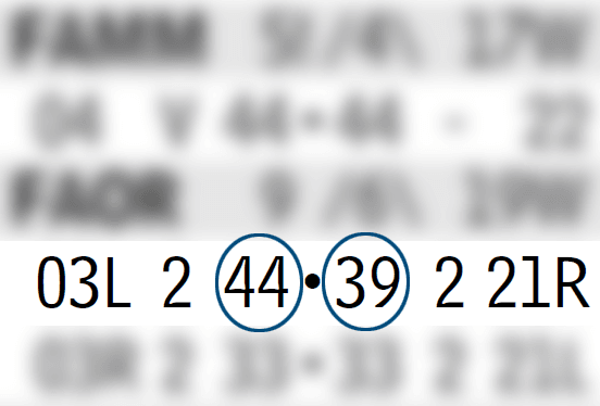
For easy situational awareness we provide you with all runway details in just one line.
3 – CAT 3 Approach
2 – CAT 2 Approach
1 – CAT 1 Approach
L – LOC Approach
B – LOC BB Approach
J – GLS Approach
R – RNAV Approach
V – VOR Approach
N – NDB Approach
C – Circling Approach
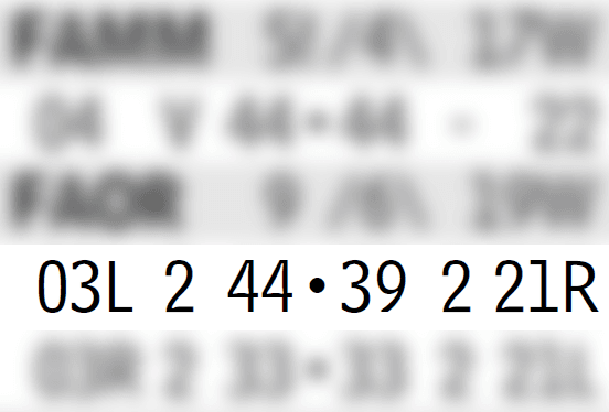
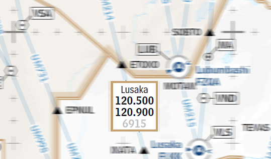
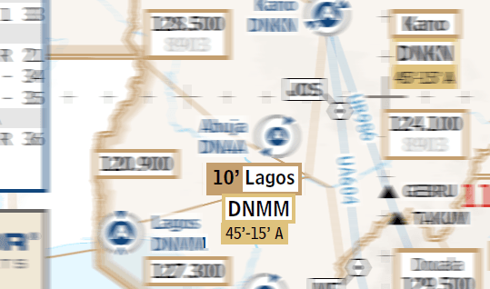
We display the most commonly used frequencies based on Lido Sky Data and your pilot reports.
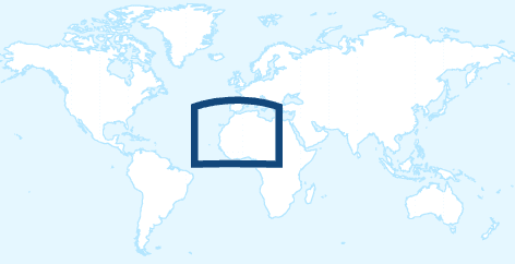
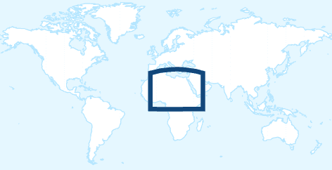
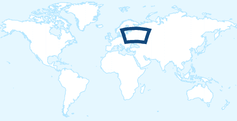
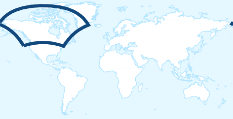
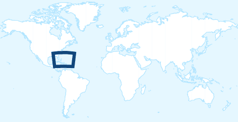
Global coverage tailored to your mission.
Explore our expanding library of worldwide charts - accurate, region-specific, and ready when you are.
























































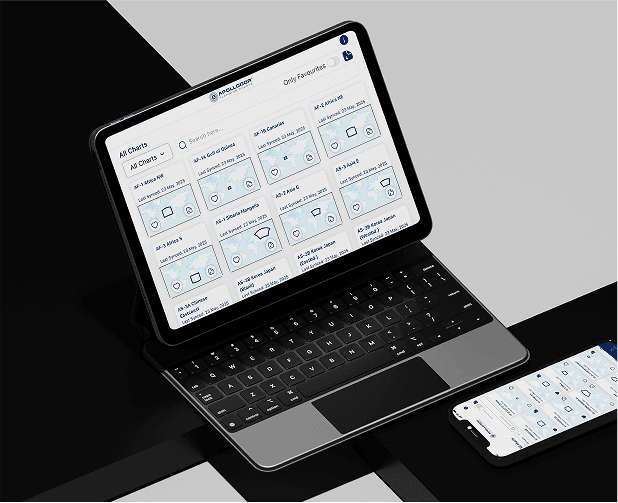

Aviation Charts
Precision matters at every stage of flight. Discover the difference that expert-crafted charts can make in your flight planning, execution and emergency handling.
Your charts were the best and I always found them very useful on all my flights.
The charts are incredibly well-designed, delivering exactly the information professional pilots need at a glance. With their clear layout and operational focus, they make flight preparation faster, easier, and more reliable.
I have been using these charts on and off since Gerd Puppel started posting them. I now mainly use them during route training or heavy crew rotation for an improved situational awareness. I have taken a year's subscription for the charts, there is a lot of potential in your project.
I've enjoyed your charts for many years for free. Happy to provide some compensation for the demanding work and valuable tools.
I‘m currently flying in the middle east and I just got the chance to use one of your charts (provided by a colleague and costumer of yours) on a flight to Auckland! The chart helped us a lot with the HF frequencies down there in Brisbane and Melbourne! I loved the presentation, the information and how often you updated!
I downloaded your charts yesterday before my LAX-LHR sector and I have to say that I found them a great tool for improving situational awareness, with the information presented in a simple to interpret format. They are a bit like our old paper flight progress charts but with the bonus of being updated daily and with the NAT tracks overlaid. I found myself referring to your charts more often than to the official enroute map.
Beautifully simplified charts with all the essentials — no distractions, just pure usability. Ideal for efficient planning of my north atlantic flights.
